Mar 29
Topic: Uncategorized|
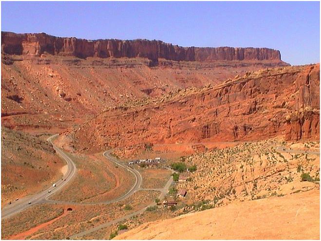
(Courtesy http://picasaweb.google.com/lh/photo/GzOHuYUVxIg76gG2TdlisQ, I’m annoyed that I didn’t take a picture of the entrance myself)
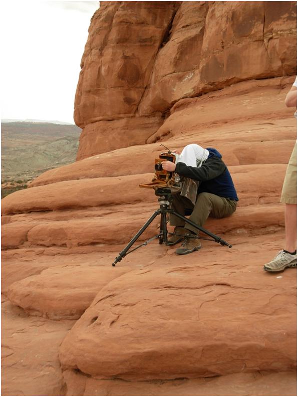
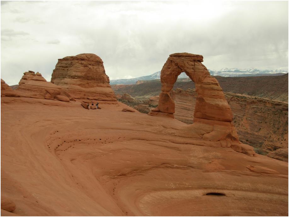
Arches is impressive. Right after the ranger station, there is a series of switchbacks that climb almost 1000 feet to enter the park. Sandys’ dream was to see Delicate Arch, so we drove straight to the end of the park to see it. The hike to Delicate Arch takes about 30 minutes, and it isn’t easy. Most of the trail is over bare sandstone, with piles of rocks to mark the way. We had an easy time, since by the time we hit the park, the sky was overcast, which was great for hiking, but mediocre for picture taking. At Delicate Arch, there was someone with an old-fashioned Black and White Camera waiting for any variation in lighting so he could take his shot. It seemed that overcast skies made the lighting “flat”.
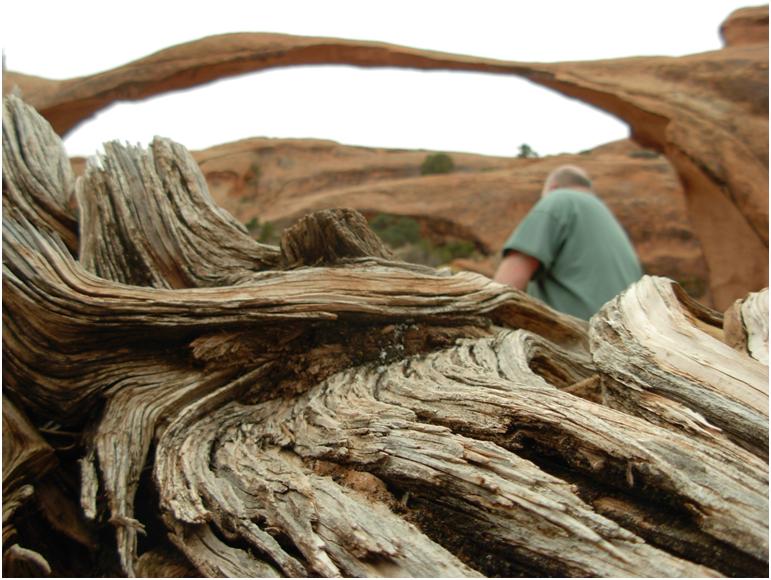
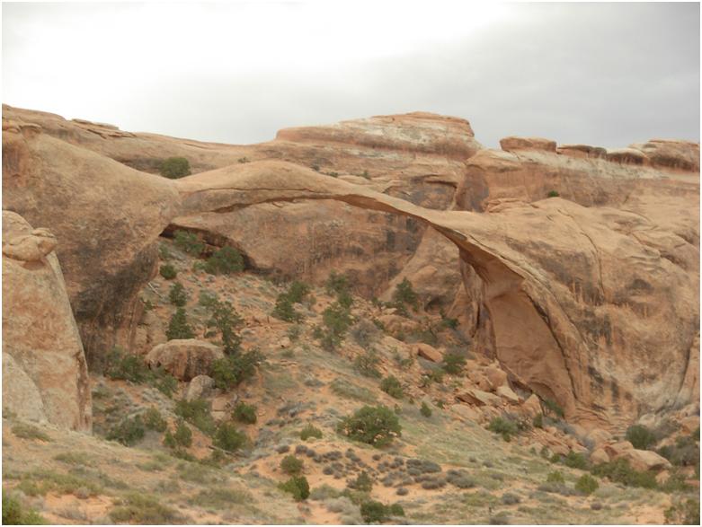
After Delicate Arch, I convinced Sandy that we had enough time to go and hike Landscape Arch, which, in my opinion, is more impressive view. The hike was very easy, and even though it looked like rain, we only got a few drops. Landscape Arch is notable not only for its size (290 feet), but also because in 1991 after about ten days of heavy rain, a 20-ton piece of the arch broke off and tumbled to the ground. And, there were visitors there to see it. Needless to say, after hearing about it, the National Park Service closed the trail underneath the Arch, which in my opinion, is safer, but not what I would prefer.
We’ll sleep in Moab.
Mar 29
Topic: Uncategorized|
I convinced Sandy that since Canyonlands National Park was only 9 miles up the road, we should go there before we went to Arches National Park (Sandy is scared that we might miss Delicate Arch in Arches). Since we didn’t have lots of time, we drove straight to Grand View at the end of the park.
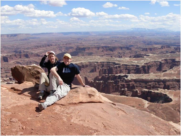
In my opinion, Grand View is too much to take in. The canyons stretch for miles to the horizon, and it is difficult to grasp what you are seeing.
Mar 29
Topic: Uncategorized|
Dead Horse Point. From one of the helpful historical signs, “Dead Horse Point was a custom-made horse trap, like a box canyon only in reverse. With sheer cliffs straight down on all sides and only a narrow strip of land for access, it made a perfect place to keep horses. All the cowboys had to do was herd the horses across the neck and out onto the ‘point’. They would then build a fence of pinyon and juniper branches across the neck and they had a natural corral! Here the cowboys could sort through the horses, choose the ones they wanted, and let the culls or ‘broomtails’ go free.”
[Google Maps maybe?]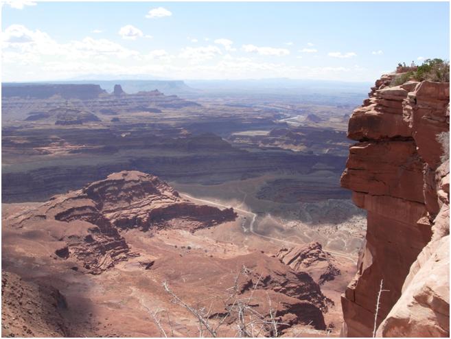
They aren’t kidding, Dead Horse Point is about 2,000 feet above the valley floor. There is nowhere to go if you were stuck there. In fact, I think it would make a good prison for just about anything.
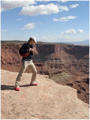
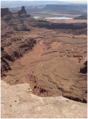
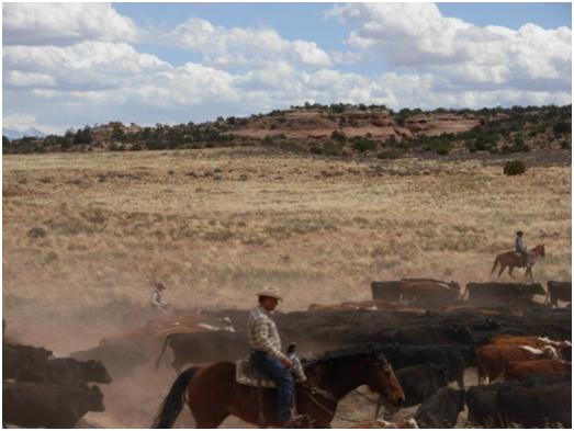
Actually, the road to Dead Horse Point is one of the few places I have ever seen free-range cattle, and by that I mean that there are no fences on either side of the road. The cattle are free to wander all over the road if they like, and on our way back, we saw the herd being driven across the road by some cowboys. Needless to say, our guests were very excited.
Mar 29
Topic: Uncategorized|
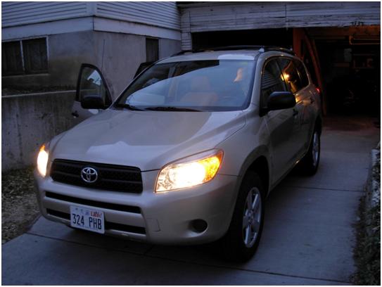
We intended to leave at 4 a.m. to get to Moab quickly, but I had just taken a final the night before, so Sandy gave me a little break and let us leave at 7. Our minivan has been acting up, so yesterday we decided to rent a car instead. The Provo Budget had a modest selection of vehicles, but we were lucky and get to go in a 2008 Toyota Rav4.